
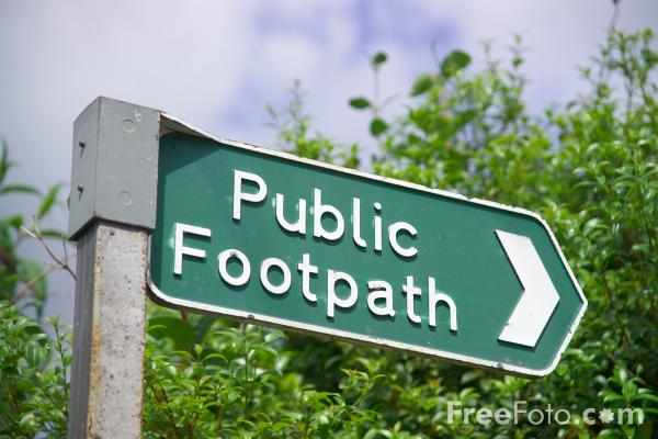
Follow this link Parish Map, which shows all of the public rights of way in the parish of Bishopsteignton (you may need to zoom in a bit!)
These are managed jointly by the Parish Council and Devon County Council with a great deal of help from 1st Bishopsteignton Scout troop! If you notice anything wrong with any of these paths please report to the clerk. Alternatively report online to Devon County Council.
FLOW POINT STATEMENT
Following many enquiries over the last few months BPC wish to publish the following statement, produced in partnership with Devon County Council Public Rights of Way officers, officers from the Teign Estuary & Coastal Partnership and the Teignmouth Harbour Commission, in consultation with the landowner.
The owners of land at Flow Point, which includes the beach (above mean high-water), nature reserve and property known as Trinity House (outlined in red on map fig. 1) have made a statement and declaration under section 31 (6) of the Highways Act 1980. This:
- does not affect the existing PROW which crosses the private land at Flow Point.
- notifies that the landowners have not dedicated any additional Public Right of Way (PROW) on this land.
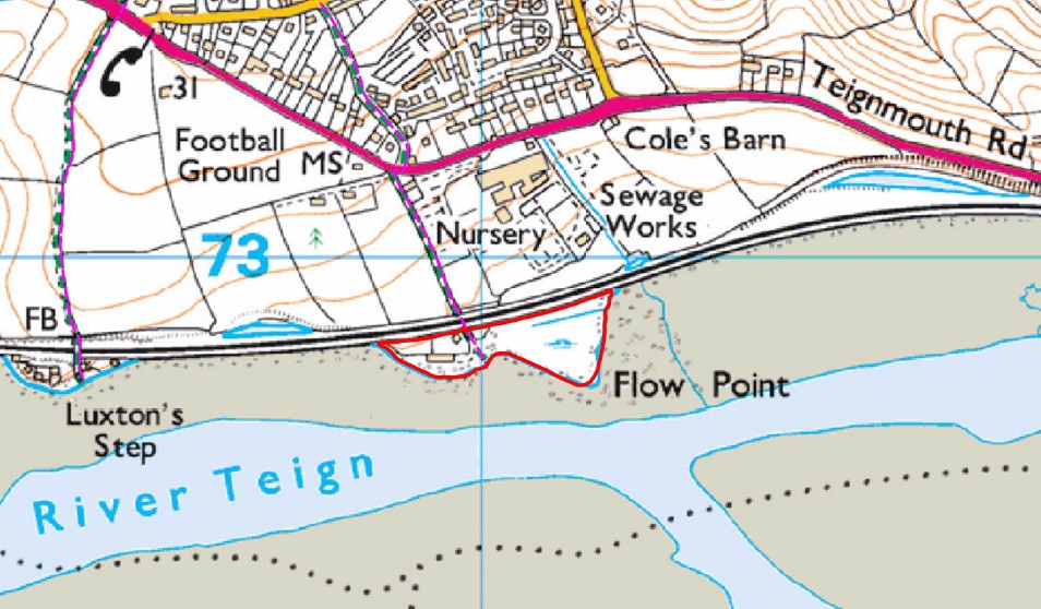
The existing PROW, under the responsibility of Devon County Council, gives an unrestricted right of access on foot to the mean-high water mark, where the PROW terminates. At high tide, the only option is to return the way you have come, it is a cul-de-sac. It is not permitted to roam across the extent of the beach or nature reserve (above mean high-water).
Land between the mean high-water and the mean low-water marks, known as the foreshore, is Crown Estate. As part of the Teign Estuary this is leased to and managed by the Teignmouth Harbour Commission who have granted permission for pedestrians to use on this land. Therefore, access is dependent on the tides. This is not a registered PROW. Flow Lane and Luxton Steps are not joined by a PROW although a circular walk is enabled by using the tidally dependent foreshore.
Pedestrians are free to cross the beach along the line of the PROW to the mean high-water mark and use the land below this line when the tide permits; able to walk in either direction, remaining on the foreshore.
Please respect the landowner’s privacy and refrain from roaming across or lingering on either the beach or garden of Trinity House, Flow Point.
This statement is available to download here: FLOW POINT STATEMENT